How to Plan a First Ride in a New City
A first ride in a new city is easier when you prioritize a safe, navigable route over maximum distance or sightseeing. I’ll show you how to compare surfaces, traffic, elevation, weather, hazards, and useful stops without spending more time or money than necessary.
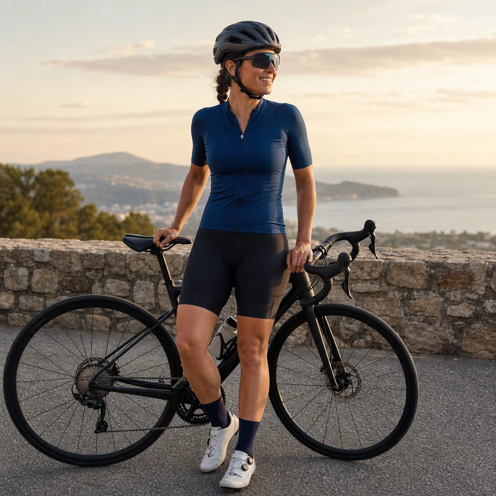
A new city can turn a simple ride into a chain of expensive or stressful decisions: unfamiliar traffic, rough pavement, a climb you didn’t expect, or a route that leaves you without water. The goal of a first ride isn’t to cover every landmark. It’s to learn the area while keeping navigation, safety, and costs manageable.
A repeatable planning process helps you choose a route that matches your fitness, equipment, time, and tolerance for uncertainty. You can then save longer or more ambitious rides for later, when the city is less unfamiliar.
Start with the ride you actually need
Before opening a route planner, define the purpose of the ride. A two-hour leg stretch after a long journey needs a different route from a half-day sightseeing loop. Write down four limits:
- Available time: Include time for stops, navigation, and getting back to your accommodation.
- Comfortable distance: Use a distance you can complete without relying on perfect conditions.
- Climbing tolerance: Decide whether you want flat roads, rolling terrain, or a deliberate climb.
- Return requirement: Plan a loop, an out-and-back, or a route with a reliable transit or taxi fallback where permitted and practical.
For a first ride, leave more time than the moving-distance estimate suggests. Unfamiliar intersections and wrong turns aren't planning failures; they’re normal costs of riding somewhere new. A shorter route with room to pause is usually more useful than a longer route that forces you to hurry.
Cost efficiency starts here. If you choose a route within your existing fitness and equipment, you’re less likely to need an unplanned meal, replacement part, transport, or extra night of accommodation after a difficult ride.
Build a route from the safest useful roads
A popular route isn’t automatically a suitable cycling route. Begin by identifying the roads and paths that connect the places you actually want to visit, then inspect each section rather than accepting the route as a finished product.
Look for:
- Lower-speed streets with predictable intersections
- Bicycle lanes or separated facilities where they genuinely improve comfort
- Roads with enough width for drivers and cyclists to pass safely
- Greenways and multi-use paths that permit your type of bicycle
- Bridges, tunnels, and major junctions that may create unavoidable hazards
- A simple way to return if the weather or your energy changes
A route with a few extra turns may be preferable to a direct arterial road. However, too many small streets can make navigation difficult and increase the chance of missing a turn. Aim for a route that uses a manageable number of clear anchors: a park, river, major plaza, neighborhood, or known junction.
Don't assume a bike lane is continuous. It may end at an intersection, become a parking lane, narrow beside parked cars, or require a turn across traffic. Zoom in on complicated areas and check the approach, not just the destination.
Check local riding rules before departure: Confirm whether bicycles are allowed on the paths, roads, bridges, and public transport options you plan to use. Rules for sidewalks, one-way streets, lights, helmets, and transit carriage vary by location and can change.
Check surfaces, not just distance and elevation
Distance and climbing totals can look reasonable while hiding the detail that makes a route uncomfortable. Surface quality matters especially when you’re carrying luggage or riding a road bike with narrow tires.
Separate the route into surface types:
- Smooth pavement
- Rough or patched pavement
- Cobblestones or paving blocks
- Gravel or compact dirt
- Sand, mud, or loose stone
- Construction zones or temporary surfaces
A short rough section may be manageable if you know about it. A long unpaved stretch can change your speed, control, tire-pressure choice, and puncture risk. If you can’t confirm a surface, treat it as uncertain and prepare an alternative.
Street imagery, recent rider reports, and local cycling groups can help, but none is guaranteed to be current. Construction, weather, and seasonal maintenance can change a route quickly. When saving a route, mark the points where you’ll reassess rather than assuming every section will remain suitable.
Your equipment should influence the decision. A bike with wider tires and lower gearing gives you more options, while a lightweight road setup may favor smoother roads and simpler loops. It’s usually cheaper to avoid a marginal surface than to replace a damaged tire, wheel, or drivetrain component.
Treat elevation as a pacing problem
A route planner’s total elevation gain is useful, but it doesn’t tell the whole story. One gradual climb may be easier than several short, steep ramps with frequent stops and traffic lights. Descents also deserve attention: steep, narrow, wet, or poorly surfaced roads can require more concentration than the climbing itself.
Inspect:
- The steepest individual sections
- Where climbs begin and end
- Whether you can turn around or choose an easier road
- The location of water and food before or after the climb
- The character of the descent, including bends and road surface
For a first ride, consider putting the most demanding section earlier, when you have more energy and more daylight. If sightseeing is the priority, choose a flatter route and treat the ride as an orientation loop rather than a fitness test.
Elevation data can also be inconsistent between mapping services. Use it as an estimate, not a promise. If you’re unsure, plan around the steeper interpretation and be pleasantly surprised if the ride is easier.
Plan around weather and daylight
Weather affects more than comfort. Heat changes hydration needs, rain reduces visibility and braking performance, wind can make an exposed route exhausting, and cold conditions can turn a late return into a serious problem.
Check the forecast for the full period you expect to be outside, including wind direction, precipitation probability, temperature, and sunset. A route that is pleasant with a tailwind may be difficult in the opposite direction. Where possible, plan the exposed or open section with conditions that won’t leave you fighting the strongest wind at the end.
Pack for the forecast with a small margin:
- Water capacity appropriate for the route and available refill points
- A light layer or rain shell if conditions may change
- Front and rear lights when visibility could fall or the return may run late
- Sun protection for exposed roads
- A way to keep your phone usable in rain or heat
Verify the conditions on the day: Recheck the forecast, sunrise and sunset times, road closures, flood or heat alerts, and any local hazard notices shortly before you leave. If conditions deteriorate, shorten the route instead of trying to preserve the original plan.
Create a navigation plan that works offline
Navigation is a safety tool, not just a convenience. Download the route or local map before leaving reliable internet access, and carry a backup in a form you can read without a signal. A phone can lose service, run out of power, or become difficult to use in heavy rain.
Keep the plan simple enough to follow while riding. Turn-by-turn instructions are useful, but you should also know the broad sequence of the ride: accommodation to quiet streets, quiet streets to the main destination, destination to a planned stop, and stop back to the start.
Before departure, review the confusing points:
- Large junctions and roundabouts
- Bridges and underpasses
- One-way street changes
- Path entrances that are easy to miss
- Turns where the route crosses a busy road
- Areas where several paths run close together
Stop in a safe place before checking the map. Don’t make navigation decisions while riding through traffic. A few planned pauses are cheaper and safer than a missed turn that sends you onto a hostile road.
Carry enough battery for the planned ride plus navigation errors. A compact power bank may be worthwhile, but reducing screen brightness and using offline maps can often avoid buying additional equipment.
Choose stops that reduce risk and spending
Stops should support the ride, not merely decorate it. Identify at least one reliable place for water, food, a restroom, and a sheltered pause. A grocery store, public facility, café, or park may be more useful than a destination with high prices and long queues.
Check opening hours and access, especially on weekends or holidays. A place shown on a map may be temporarily closed, require an admission fee, or sit beyond a difficult road. Keep one free or low-cost alternative nearby.
Think about timing. Stopping before you’re exhausted gives you more choices and helps prevent impulse spending. Carrying a small snack can also make the route less dependent on finding an open restaurant at exactly the right moment.
If the city has drinking fountains, public water stations, or bike repair points, save them as map markers. Confirm that they’re available during your visit rather than treating map listings as guarantees.
Identify local hazards and exit points
Every city has different risks. Common examples include tram tracks, parked-car doors, buses pulling away from curbs, aggressive junctions, loose animals, steep drainage grates, pedestrians on shared paths, and poor lighting. Local cycling clubs, bike shops, accommodation staff, and recent route reports can reveal hazards that a map won’t show.
Mark places where you can safely stop or change plans:
- A quiet side street near a major junction
- A rail or transit station, if bicycles are accepted
- A staffed bike shop
- A public building or commercial area for shelter
- A route split where you can choose a shorter return
Confirm your fallback options: Check current transit bicycle policies, taxi availability, bike-shop hours, and emergency contact information for the area. Don’t assume a vehicle, train, or shop will accept your bicycle without restrictions.
You don’t need to predict every problem. You need enough alternatives that one closed road or low battery doesn’t become a crisis.
Do a final low-cost readiness check
Before rolling out, confirm:
- Tires are inflated and free of obvious damage
- Brakes work normally
- The chain is lubricated enough for the conditions
- Lights, phone, and navigation device are charged
- You have a pump or inflator, spare tube or tubeless repair supplies, tire levers, and a multi-tool suited to your bike
- Identification, payment, and emergency contact details are accessible
- Your route and backup route are saved offline
- Someone knows your general plan if you’re riding alone
A quick mechanical check is cheaper than discovering a problem several miles from your starting point. If the bike is rented, ask the shop about the controls, gearing, locking system, and roadside support before leaving.
Make the first ride an information-gathering loop
Your first ride should teach you how the city works for cyclists. Notice which roads feel comfortable, where traffic becomes stressful, how accurate the surface information was, and whether your stops were conveniently placed. Save those observations for the next route.
The best plan isn't the one with the most attractions or the highest mileage. It’s the one that gives you clear choices when conditions change. Start with a modest route, protect your return time, and spend your attention on riding rather than solving avoidable problems.