How to Plan a Loop Route With Reliable Water Stops
A route with frequent services isn't necessarily a route with dependable water. I’ll show you how to check refill points, build backups, space stops sensibly, and carry enough water when a promising café or park may be closed.
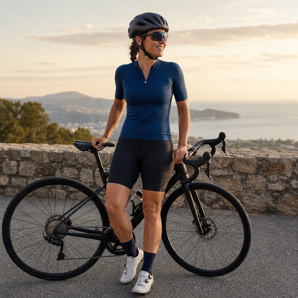
Planning a long loop around water stops is different from simply marking cafés and parks on a map. A listed business may be closed, a public fountain may be seasonal, and a short detour can become a serious problem when the weather turns hot.
The goal isn't to find the maximum number of possible stops. It’s to create a route where you know when you can refill, what you’ll do if a stop fails, and how much water you need to carry between reliable options.
Start with your water limit, not the map
Before choosing stops, work out how far you can comfortably ride with the bottles and pack you’ll actually carry. Your required range depends on temperature, sun exposure, climbing, effort, body size, and access to shade—not just mileage.
As a starting point, many recreational riders drink roughly 500–750 millilitres per hour in moderate conditions, but that isn’t a universal prescription. You may need more in heat or during sustained climbing, while drinking far beyond thirst can also be unhelpful. Use your normal riding habits as a baseline and plan conservatively for unfamiliar conditions.
Check the capacity of your bottles. Two 750-millilitre bottles give you 1.5 litres when full; a single bottle gives you much less flexibility if the next stop is unavailable. If you dislike carrying extra weight, consider whether a lightweight hydration pack or a third bottle will make the route more manageable.
A useful planning question is: How long could I continue if the next water stop is closed? Use that interval—not the average distance between all stops—as your minimum carrying requirement.
Build a stop list before drawing the loop
Create a simple list of possible refill points along the route. Useful categories include:
- Grocery stores and convenience stores
- Coffee shops, restaurants, and gas stations
- Public parks with drinking fountains
- Visitor centres, campgrounds, and trail facilities
- Libraries, recreation centres, and other public buildings
- Outdoor taps at approved rest areas
Don't treat every category as equally dependable. A staffed grocery store is usually a stronger primary stop than an isolated fountain. A café may be useful but could require a purchase, have limited hours, or refuse bottle filling during a busy period. A park fountain may be free but seasonal, damaged, or turned off during freezing weather.
Record the exact location, likely access point, expected opening hours, and whether the stop requires leaving the route. If you’re using a mapping app, save each option as a waypoint rather than relying on memory.
Classify each stop by confidence
A simple confidence system makes route decisions easier:
- Primary stop: You have a strong reason to expect water to be available, such as a confirmed business with suitable hours or a known public facility.
- Backup stop: It’s a reasonable alternative but may have limited hours, a longer detour, or uncertain access.
- Emergency option: It may help in a difficult situation, but you shouldn’t build the ride around it.
Try to have at least one primary and one backup option for each long section of the loop. If a section has only one uncertain stop, treat the entire gap as unsupported and carry enough to complete it.
Check the distance between dependable stops
Measure the distance between stops you genuinely expect to use, not between every pin on the map. A route may appear well supplied because it contains several cafés, but if all of them are closed on Sunday morning, the practical gap is much longer.
Look at more than the headline distance. Consider:
- Total climbing and the steepest sections
- Unshaded roads and exposed fields
- Traffic that may slow your progress
- Rough surfaces or trails that reduce your speed
- Headwinds and forecast temperature
- Whether the stop is at the bottom of a hill or several minutes off-route
- How far you’ll need to ride if you miss the stop’s opening window
A ten-mile gap can feel very different on a cool, flat morning than on a hot route with a headwind. Add more carrying capacity or choose a closer reliable stop when the conditions are demanding.
Verify the stops for your ride day: Check current opening hours, seasonal fountain access, road closures, and whether each business or facility permits bottle refills. Save a phone number, website, or map pin for your primary and backup stops, then confirm anything that could change before you leave.
Opening hours and public amenities can change without much notice. Seasonal closures are especially common at parks, campgrounds, visitor facilities, and outdoor fountains. A recent map review is useful, but it doesn’t guarantee that a tap is working today.
Design the loop around decision points
A loop is easier to manage when you divide it into sections with clear decisions. For example:
- Start to first dependable stop: Keep this section short enough that you’re not relying on an early, uncertain refill.
- First stop to the far side of the loop: Carry enough water to reach the next primary or backup option without improvising.
- Most remote section: Plan this as the critical gap. It should have the most conservative water margin.
- Return toward familiar roads: Include a bailout route if conditions, fatigue, or a failed stop changes your plan.
The most remote point isn't always the point farthest from home. It may be the section with the fewest roads, steepest climb, weakest mobile coverage, or longest distance to a store. Identify that section before you finalize the route.
Add route notes such as “refill before the reservoir road” or “backup store two miles east.” These reminders are more useful during a tiring ride than a collection of unlabeled map pins.
Plan for closed, empty, or inaccessible stops
Every planned stop should have a failure response. If the café is closed, do you have a store nearby? If the fountain is dry, can you turn toward a main road? If the business is open but has no convenient place to stop, can you safely wait or refill elsewhere?
Choose backups that are practical, not merely visible on the map. A backup on the opposite side of a divided highway, behind a locked gate, or at the bottom of a long climb may not be a realistic option.
For a longer ride, save at least one bailout route from the most remote section. This could lead to a train station, a major road with services, a familiar neighbourhood, or the shortest route home. Check whether the route is legal and suitable for bicycles, since some highways and limited-access roads aren’t appropriate or permitted for riding.
If your route depends on buying water, carry a payment method and a small amount of food as well. A stop that sells drinks but no substantial food may not solve the problem if you’re also running low on energy.
Carry a reserve instead of planning to finish empty
You shouldn’t arrive at a planned stop with completely empty bottles as your normal strategy. Leave a margin for a wrong turn, an unexpected delay, a queue, or a slower pace than expected.
That reserve might mean starting with one extra bottle, refilling at an earlier stop, or choosing a shorter loop. The right solution depends on your equipment and conditions, but the principle is consistent: uncertain services require extra capacity or a shorter unsupported section.
Avoid relying on natural water sources unless you have a suitable, reliable treatment method and understand the risks. Clear-looking streams and ponds can contain contaminants, and water access may cross private property. A commercial or maintained public source is generally easier to verify.
Keep drinking and refilling separate decisions
A refill stop isn't automatically a signal to drink a large amount quickly. Drink regularly according to your needs, and use the stop to restore your planned supply. If you’re experiencing unusual confusion, weakness, vomiting, severe headache, or other concerning symptoms in the heat, stop riding and seek appropriate help rather than trying to solve the problem by forcing down water.
Heat illness guidance and emergency procedures can vary by conditions and location, so check current advice for your region when planning a hot-weather ride.
A simple route-planning checklist
Before saving the final route, confirm:
- Your bottle and pack capacity
- The longest gap between dependable water options
- Weather, heat, wind, and sun exposure
- At least one backup for each critical section
- Opening hours and seasonal access on the planned day
- Detours required to reach each stop
- A bailout route from the most remote point
- Payment, food, phone battery, and basic repair supplies
- Whether each road or trail is suitable and permitted for bicycles
Then share the route with someone if you’ll be riding alone, especially when the loop includes remote roads or limited services.
Practical next steps
Pick one prospective loop and mark every possible water source. Classify each as primary, backup, or emergency, then remove any stop you can’t reasonably verify. Recalculate the longest unsupported section using your real bottle capacity and expected conditions.
If the gap feels uncomfortable, shorten the loop, add a carrying option, or move the route toward more dependable services. A well-planned water stop isn't just a pin on a map—it’s a confirmed option, a realistic backup, and enough reserve to keep a small problem from becoming the defining part of your ride.